
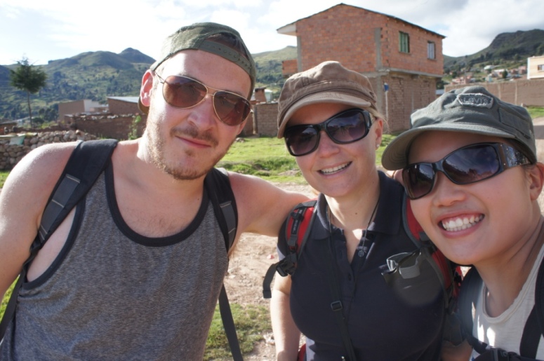
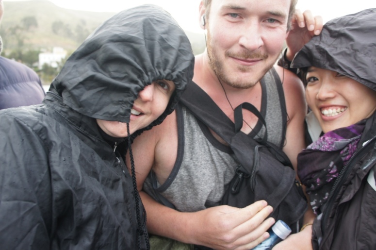
Will, Shelly and I crossed the border into Bolivia with relative ease. We caught a collectivo to the border crossing and a taxi to the town of Copacabana.
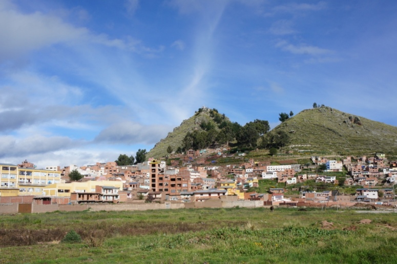
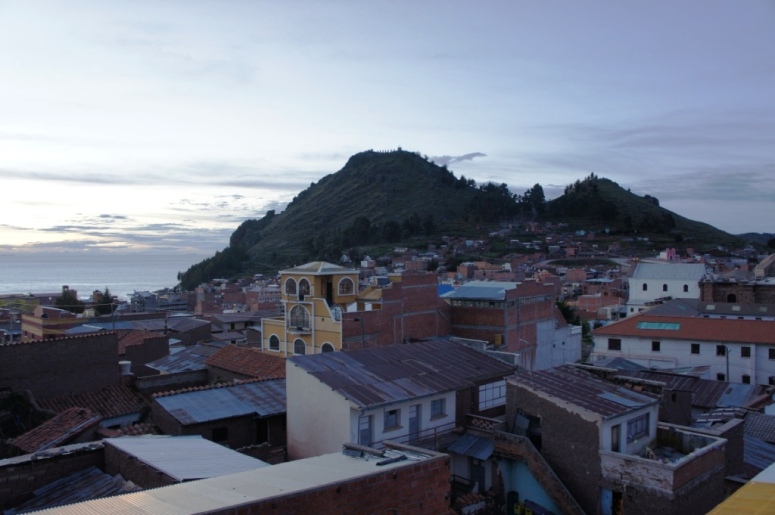
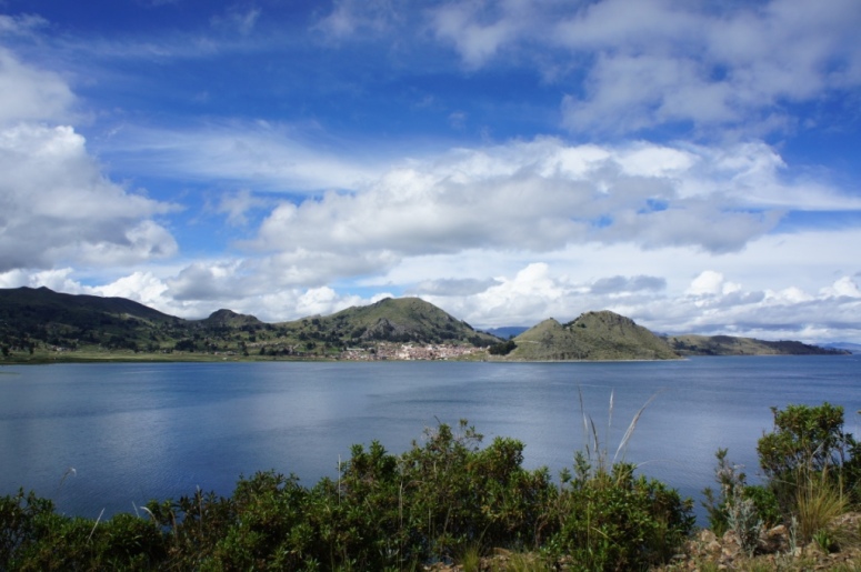
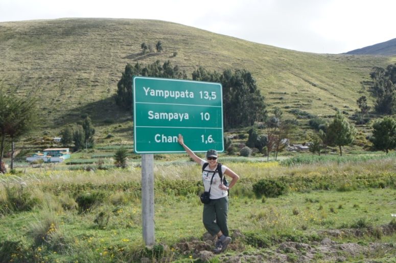
We stayed one night in Copacabana and set out early the next morning on a countryside walk to Yamaputa, a lakeside town which is used as a jumping off point to Isla de Sol on Lake Titicaca.
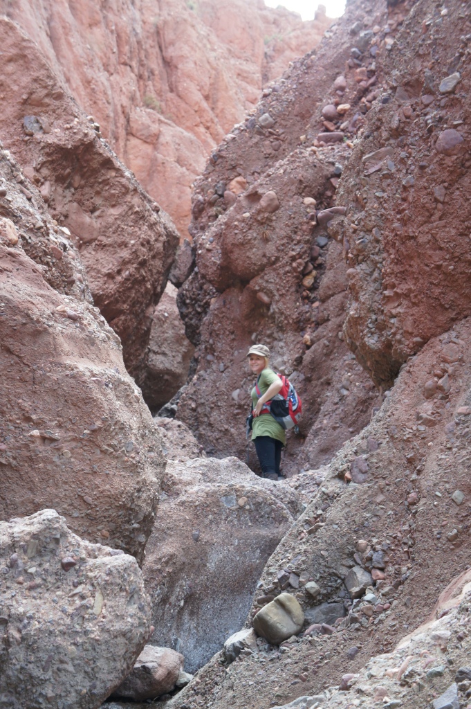
We had to ask a few locals to point us in the direction of where the road started but otherwise it was an easy trail to follow.
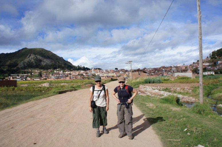
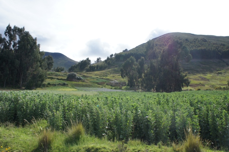
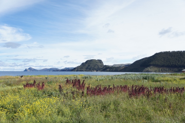
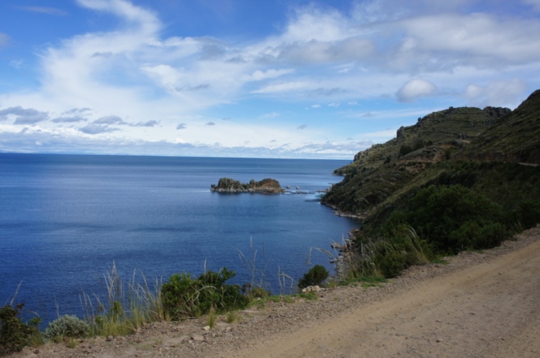
The walk is 17.5km and provides great views of Lake Titicaca and the surrounding countryside.

It was a really nice day for a walk as the sun was shining yet there was a cool breeze blowing.
We were always on the lookout for good toilet breaks.
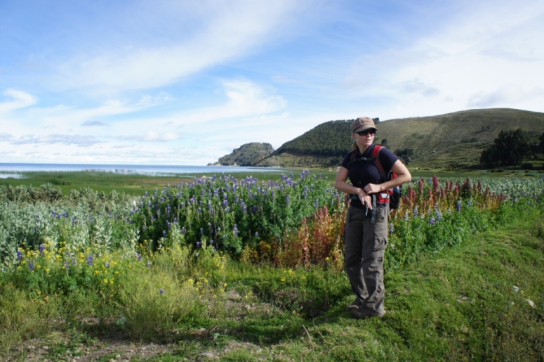
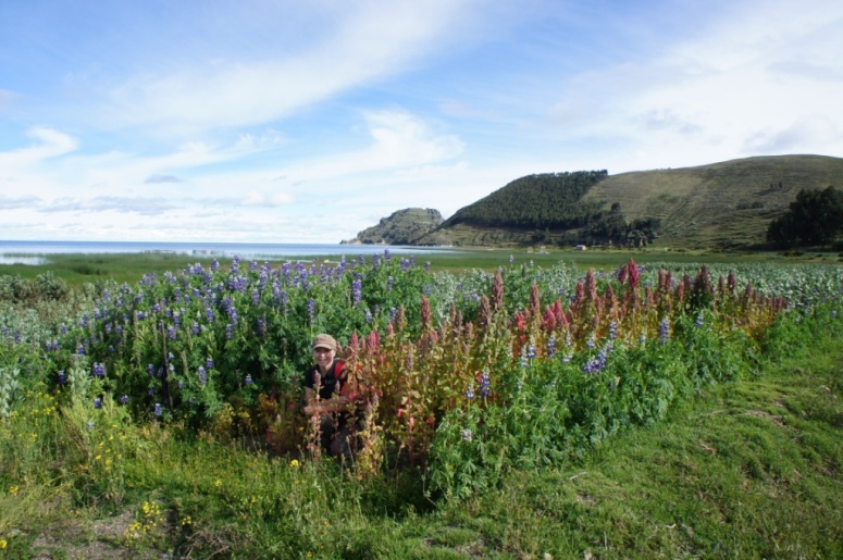
Shelly has perfected the art of camouflage!
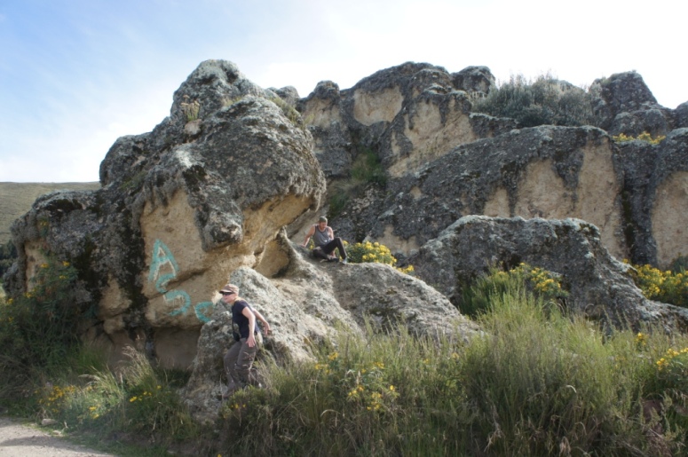
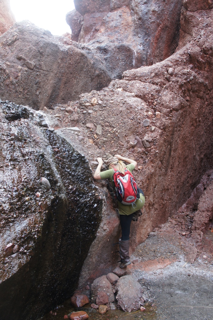
After about 4km, we came across a large rock formation that inspired Will.
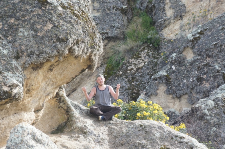
Shelly and Will tried their hand at abit of rock climbing but alas, the rock was mightier than the man.
The first 6km started off slowly and I wondered if perhaps, we were better off catching a taxi.
Once the road started going uphill, I knew I was better off in a motorised vehicle of some sort.
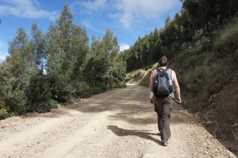
At 3800m to 4000m above sea level, I could feel the extra pull in my lungs with every slight incline.

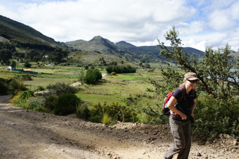
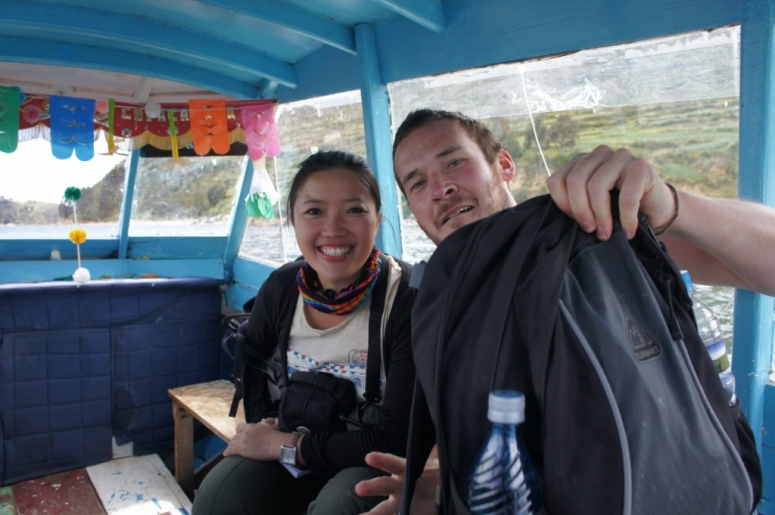
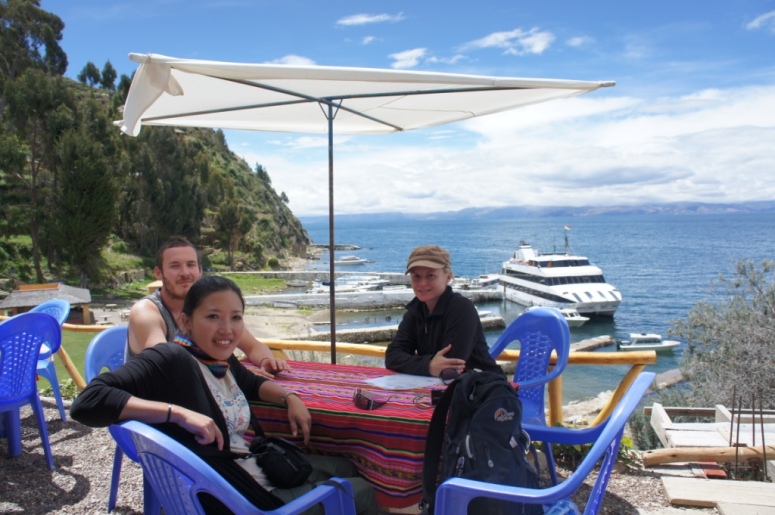
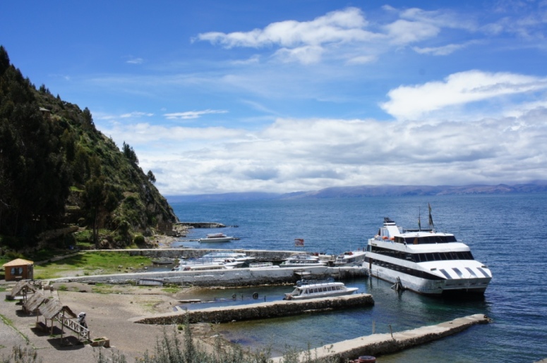
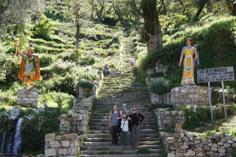
Four and a half hours later, we reached the town of Yamaputa and caught a boat to Isle de Sol (Island of the Sun).
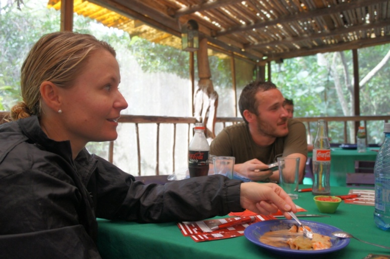
By the time we got there, we were ready to put our feet up and relax over lunch.
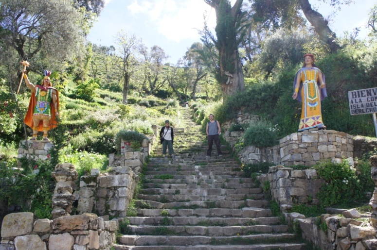
Unfortunately the morning’s exertions made us less inclined to climb the Inca stairs.
We caught a taxi back to Copacabana and then caught the next local bus to La Paz.
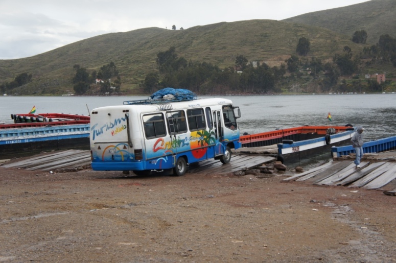
The 3 hour bus ride to La Paz was interesting to say the least. The three of us were snoozing peacefully when we were jolted awake by a mass exit off the bus.
We hopped off the bus, confused and slightly disoriented as we watched our bus, complete with our backpacks board a boat.
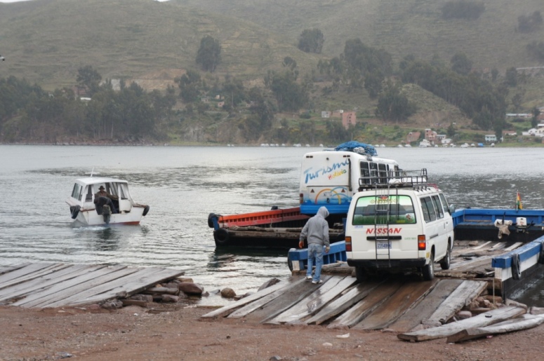
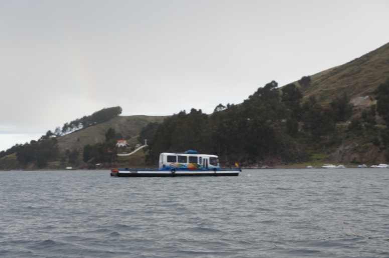
We hopped on a boat with the other passengers on the bus, just as it started to rain. How is that for timing?
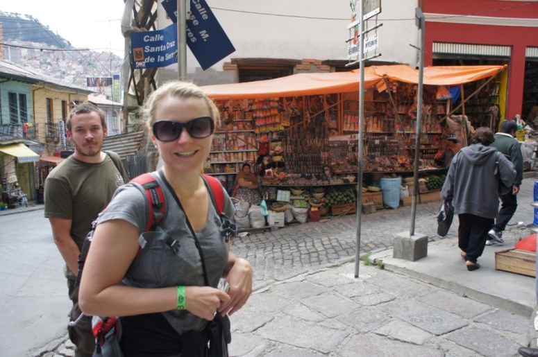
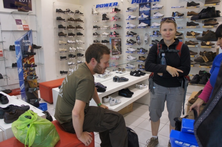
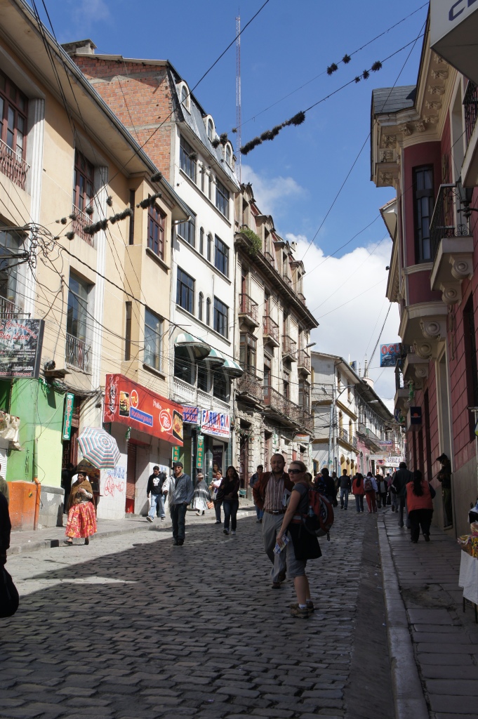
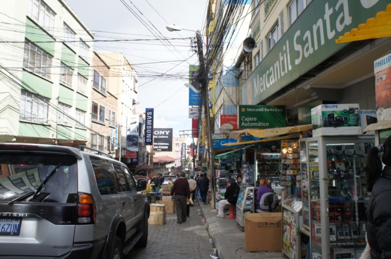
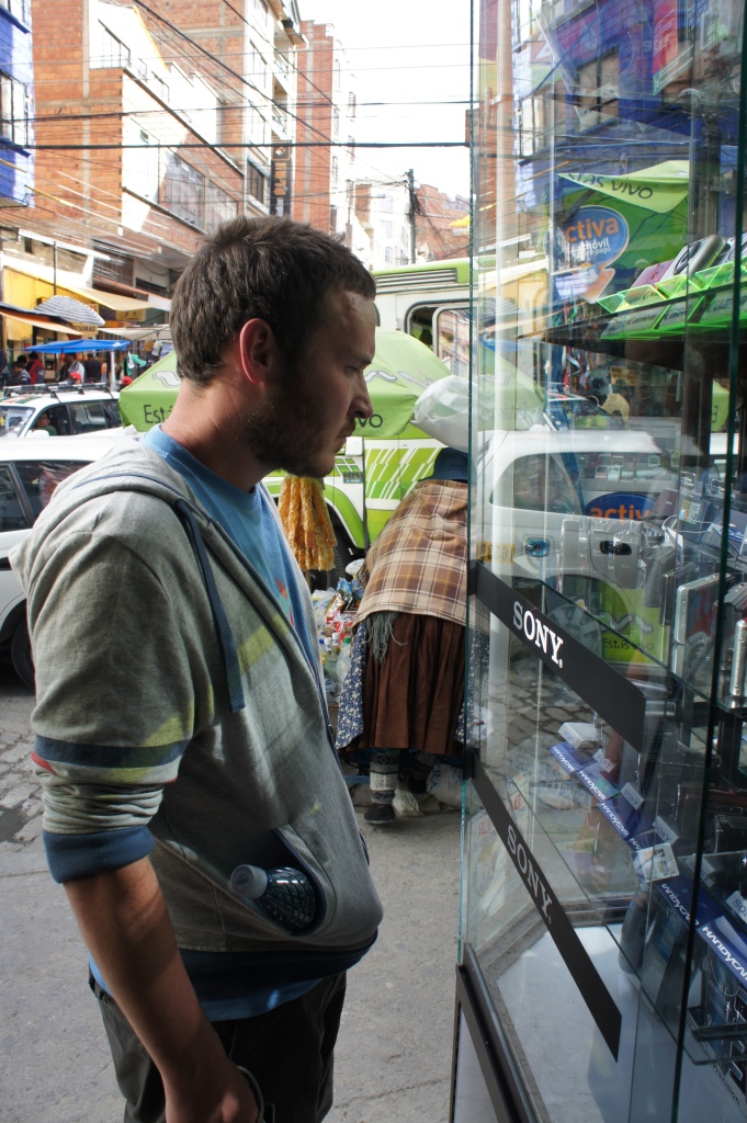
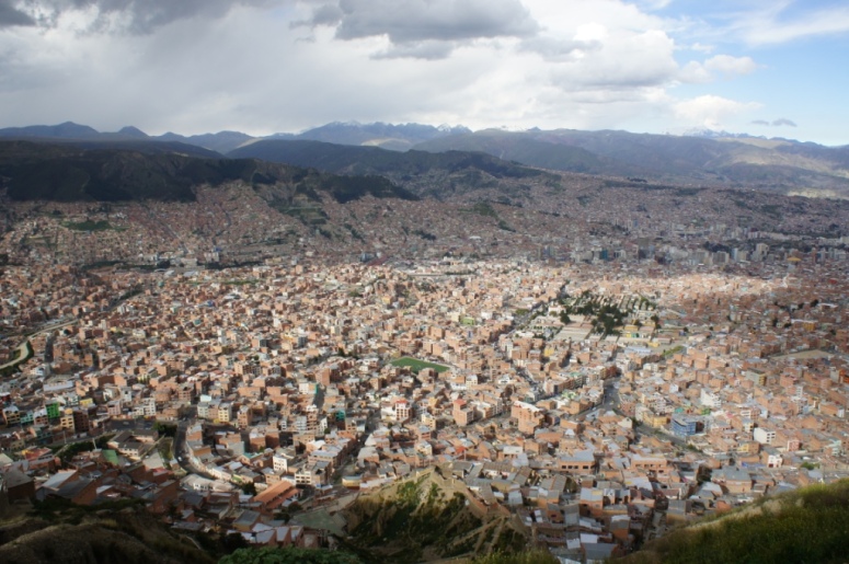
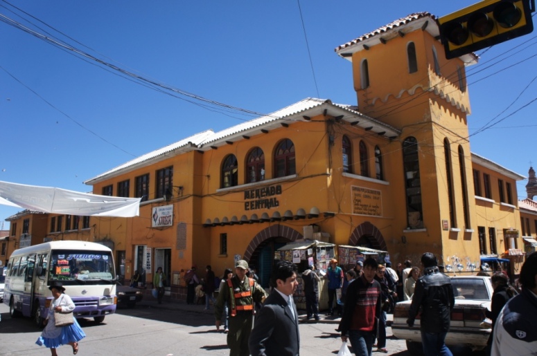
We kicked off our first day in La Paz with a bit of shopping.
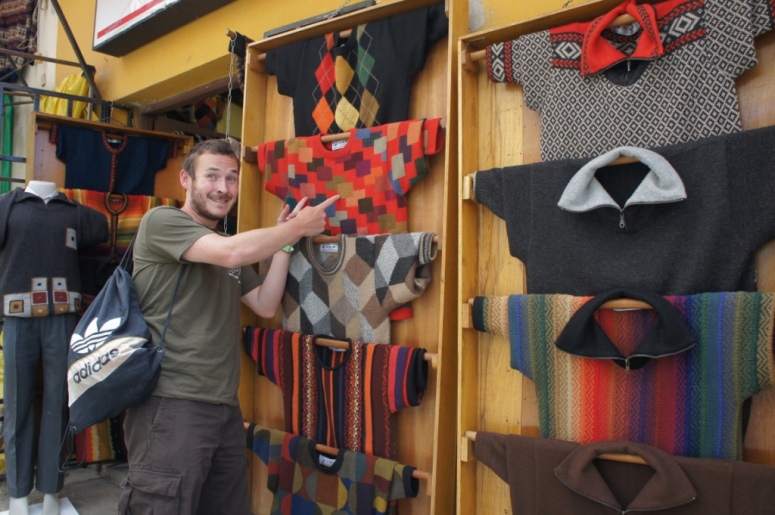
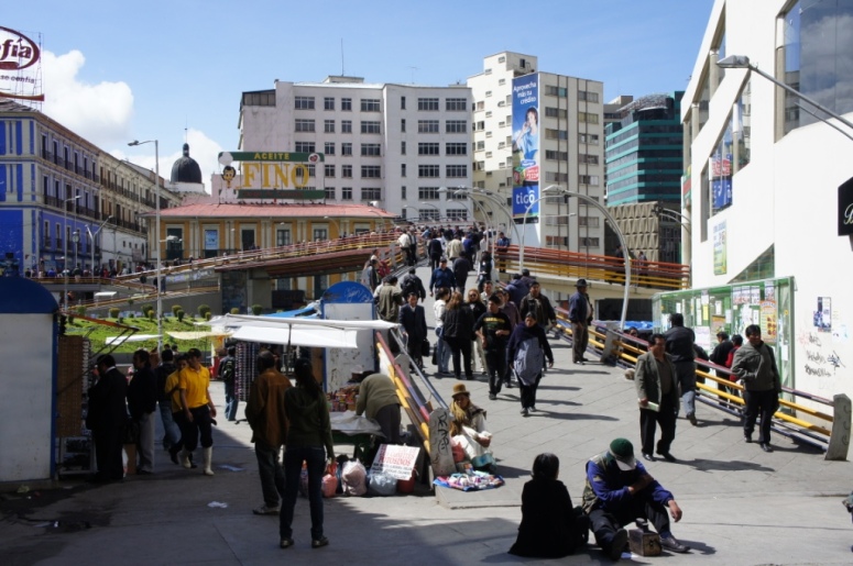
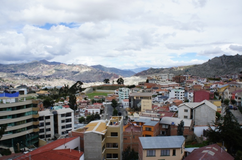
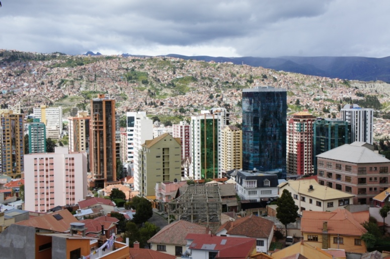
La Paz is a sprawling huge city that seems to have a street for everything.
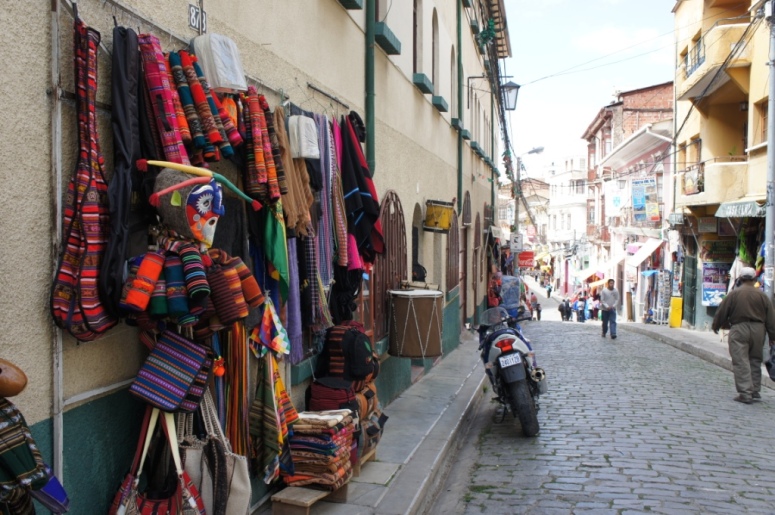
So far we have seen a street filled with shops just selling soccer jerseys, streets with vendors only selling bananas or potatoes.
It’s a very odd set up and I’m not sure how anyone makes any money.
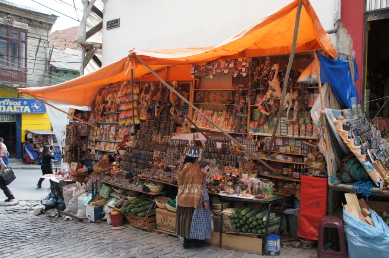
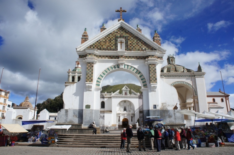
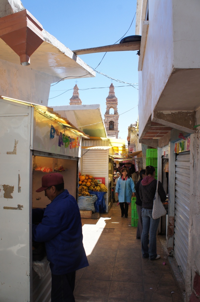
We visited the Witches market where you can buy a bizarre assortment of items like potions, amulets, candy, owl feathers, dried snakes, turtles or frogs and llama fetuses.

La Paz is an assault on the senses.
It is unlike any city I have been to.
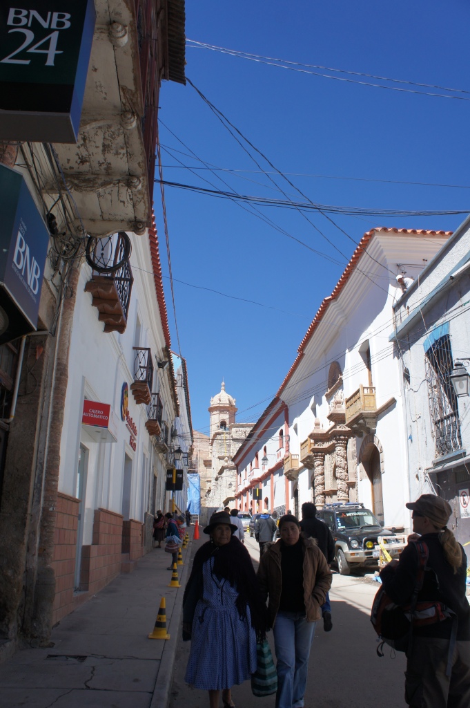
It has varying levels of elevation but with its highest areas ranging from 3600m to 4000m, it is one of the highest cities in the world.
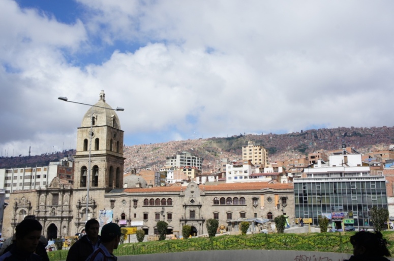
The city is made up of several districts, with no obvious layout.
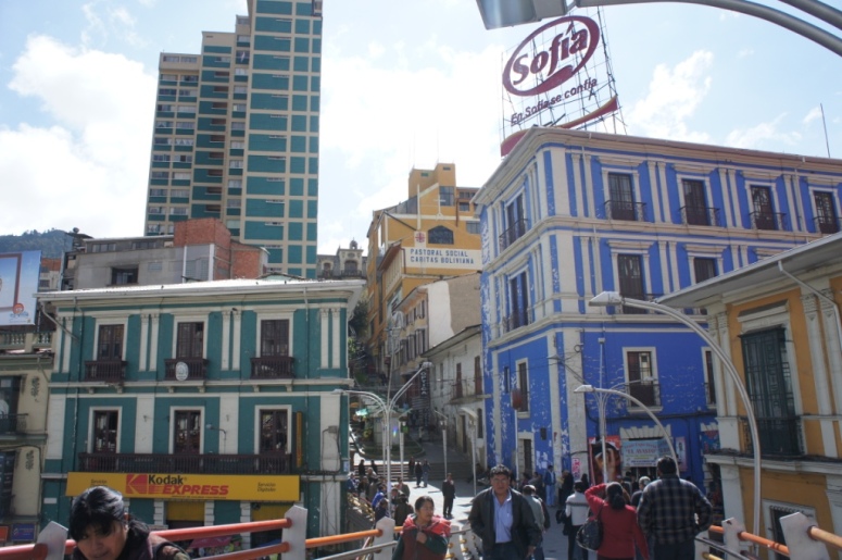
Traffic (both human and motorised) is crazy.
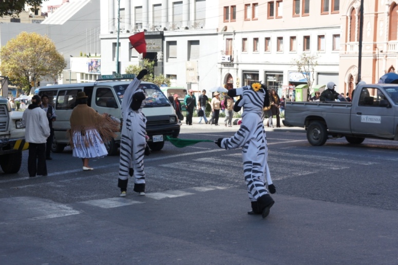
We were told that traffic conductors dress up in zebra outfits but it really was a case of ´believe it when you see it´.
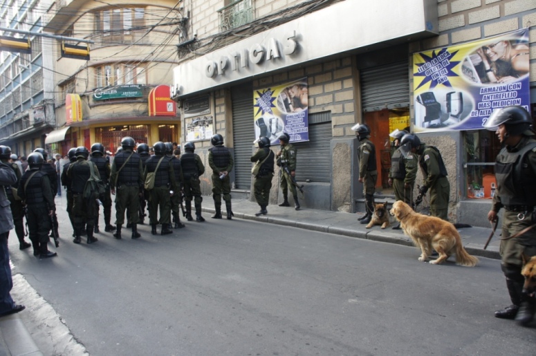
Our arrival in La Paz coincided with a miners protest.
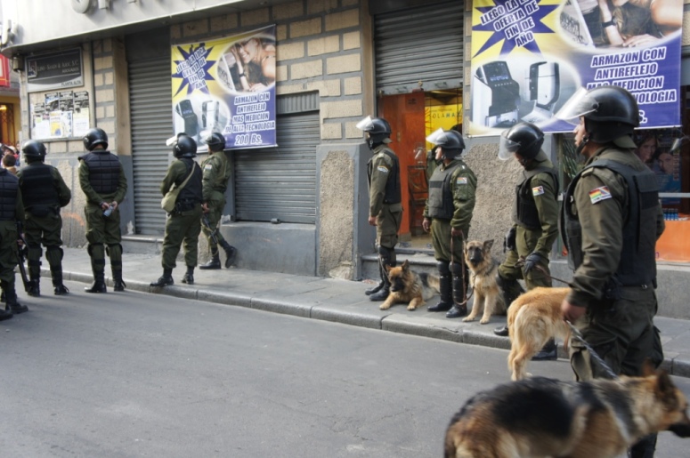
The protesters marched along the street all day and set off dynamite to get their point across.
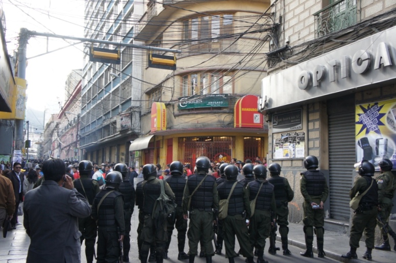
We saw lots of riot police but didn’t realise that they were using tear gas on the protesters in retaliation for the dynamite. At one point, people start running towards me so I started running. I had no idea why I was running, all I knew is that I didn´t want to get caught in any crossfire.
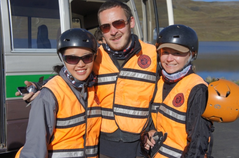
The next morning, we set off to cycle down the self -proclaimed ´World’s most dangerous road.´
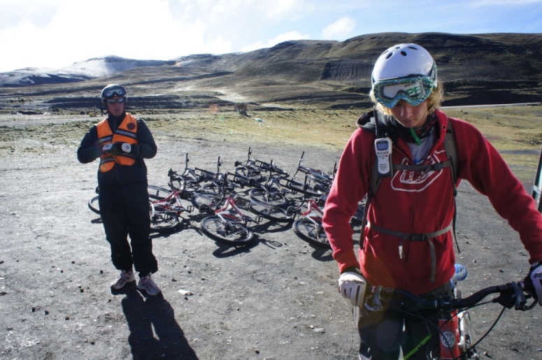
We decided to go with Gravity Assisted Biking, which started the cycle tours.
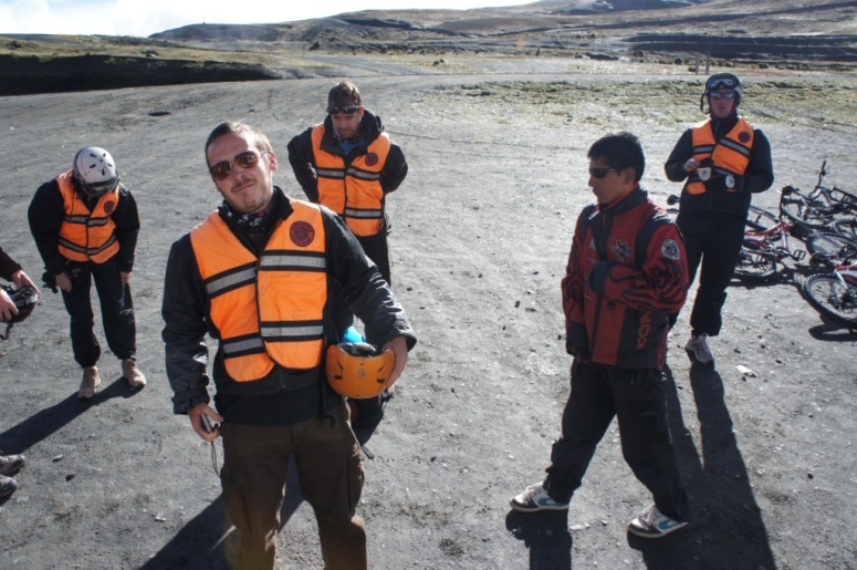
It is the most expensive company but has a strong safety record.
The ride begins at La Cumbre, which is 4700m high. I found I was perfectly fine at this altitude though I got out of puff when our guide asked me to test out my bike and I decided to test it out on an uphill section.
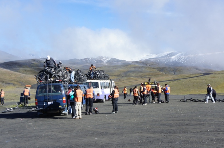
From the top, we had fantastic views of a number of snow-covered peaks. It was pretty chilly up there so we started off cycling with many layers on.

We descended rapidly down smooth and sometimes winding asphalted road.

We had regular breaks along the way, so that our guide could give us tips how how to tackle the next section and to take photos of the dramatic scenery.

We were also shown why the road is considered one of the most dangerous roads in the world.

Those towering cliff faces deserve respect, especially if you value your life.

Just before we were to start the most challenging part of the ride, in rolls the mist.

I wasn’t looking forward to riding down narrow dirt road with such low visibility.

There were two landslides last week so our bus, which would normally be following behind us, couldn’t follow us for 2 hours of our ride.

About half an hour into the ride, we had our first casualty. Shelly skidded against some loose gravel, flipped and flew off her bike.

Will was the only person to see her tumble. Fortunately she fell to the right, instead of to the left, which is where the cliff edge was.

After that point, I pretty much had my fingers on the brakes for the first 20km. It was all downhill so it required no pedaling. It was also on dirt gravel road which is very unforgiving to fall on. Given my track record for bike accidents, I decided self preservation came first.

This meant that the first 20 km went rather slowly for me. I was concentrating so hard on the road and avoiding the cliff edge and the bigger stones that I didn’t dare look out to enjoy the views.

I even preferred to cycle right under the waterfalls, rather than around them as this would mean cycling closer to the cliff edge.

The road smoothed and widened out for the last 21km and that was when I took my hands off the brakes and really began to enjoy myself.

We arrived at the bottom in the village of Yolosa, where we had buffet pasta lunch at La Senda Verde Animal Refuge, which looks after rescued animals.
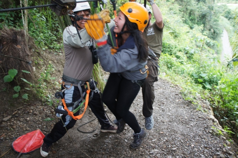
As part of a combination package, we could go ziplining across the mountain.

We did 3 lines, each with different lengths and speeds.
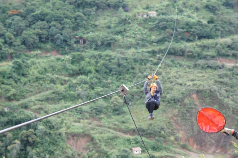
I felt safer ziplining over the road than I did cycling or driving on the road.
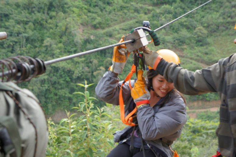
On the last line, they let Will and I zipline across at the same time.
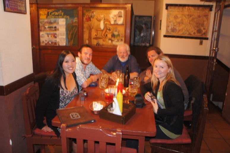
Despite the long day, we still managed to stay out for a few late night drinks at our hostel bar.


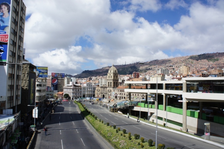
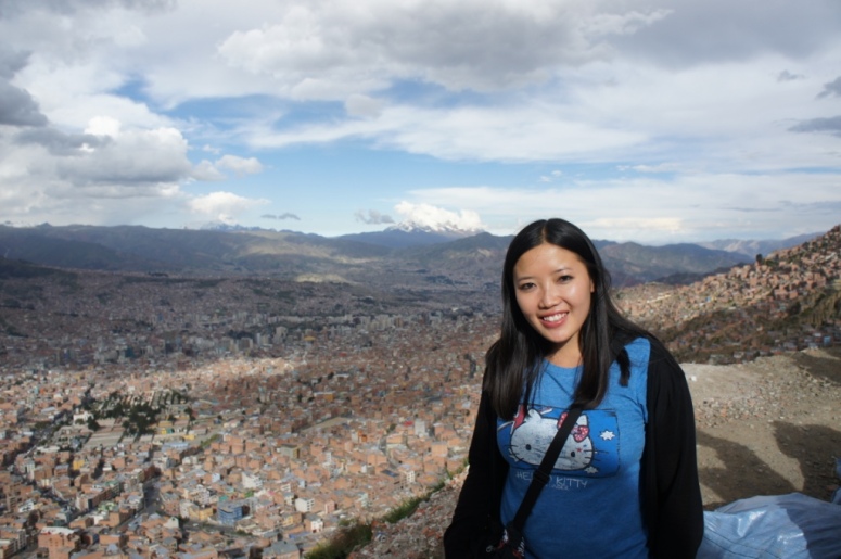
The next day we headed out to a lookout point to take photos of the city.
We spent the afternoon helping Will find a new camera, since his camera got damaged by the rain during the cycle ride down the WMDR.
That evening, we headed out for another night on the town, starting at the Oliver´s Travels bar, which calls itself the 5th best bar in La Paz.
Oliver’s Travels wasn’t really kicking off so we headed back to our hostel bar for a few drinks.

It wasn’t too long before we found ourselves at the Bluehouse nightclub, filled with gringos that seemed to be entirely from Wild Rover and Loki hostels.

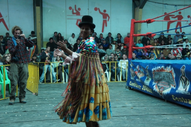
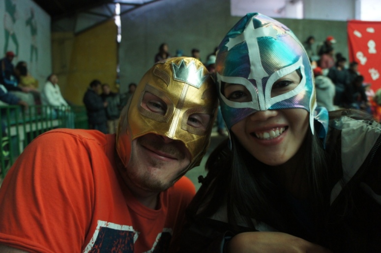
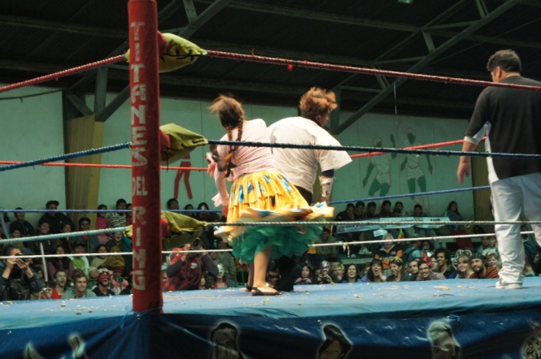
The following afternoon, Will and I headed into the Southwest suburb of El Alto to watch a Cholita wrestling match.
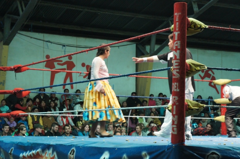
Cholita’s are women dressed in traditional large full skirts, have their hair braided in two thick plaits and wear bowler hats.
The first few matches were between two men dressed up as superheroes.
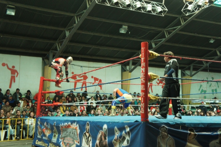
The fights were planned or practiced, with many people in the audience cheering for their favorites or throwing popcorn at the contestants they dislike.
We left shortly after the first Cholita fought with a guy. WWF has never been my cup of tea.
At least I managed to take some great shots of La Paz on the way there.
That same evening we caught a very comfortable night bus to Potosi. I reclined my seat all the way down and fell asleep staring out the window at all the stars in the sky.
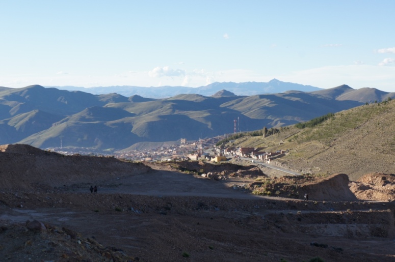
Potosi, at 4000m, is the highest city (not village or town) in the world.
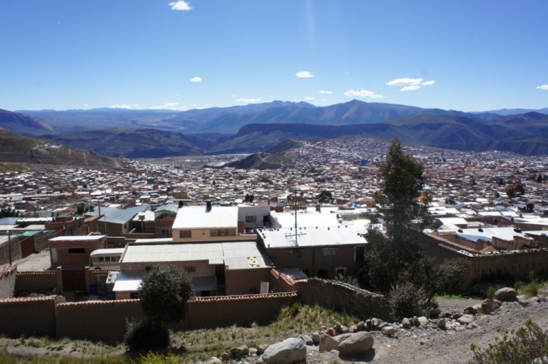
It was once one of the richest cities in South America as it had vast amounts of silver mines, which were rapidly depleted.
It still has an abundance of tin, zinc and lead, despite their being only 6% of the population actually working in the mines.
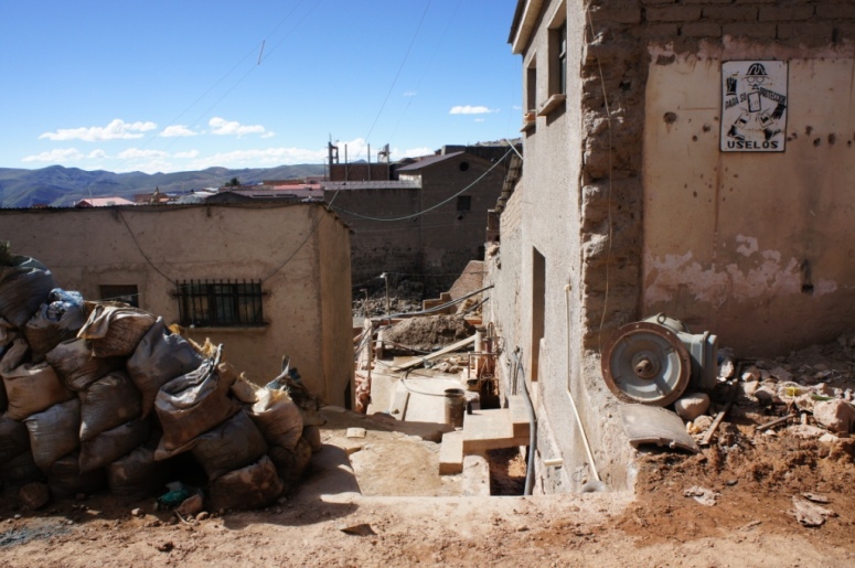
Its silver deposits ran out before the city’s full potential was reached and this is very apparent when you walk around the city.
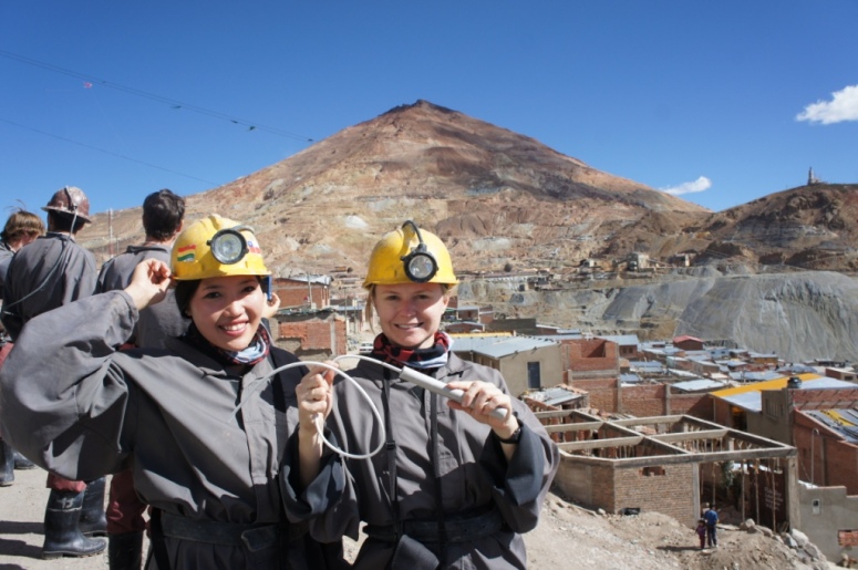
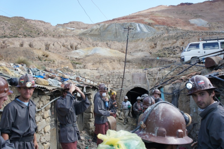
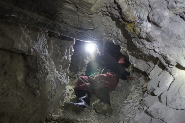
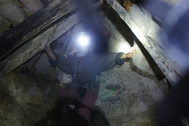
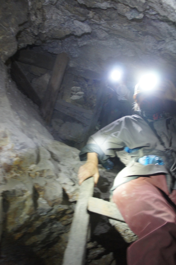
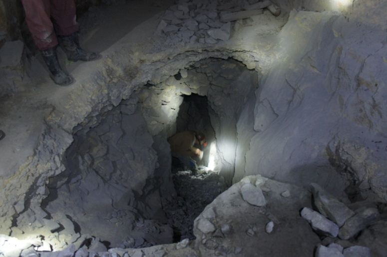
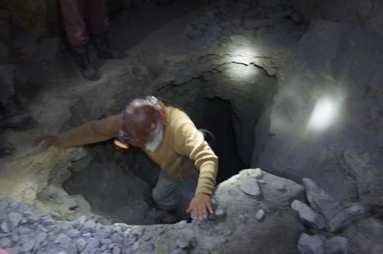
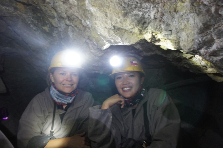
We signed up for a mine tour, guided by ex-miners who take you underneath into the mines.
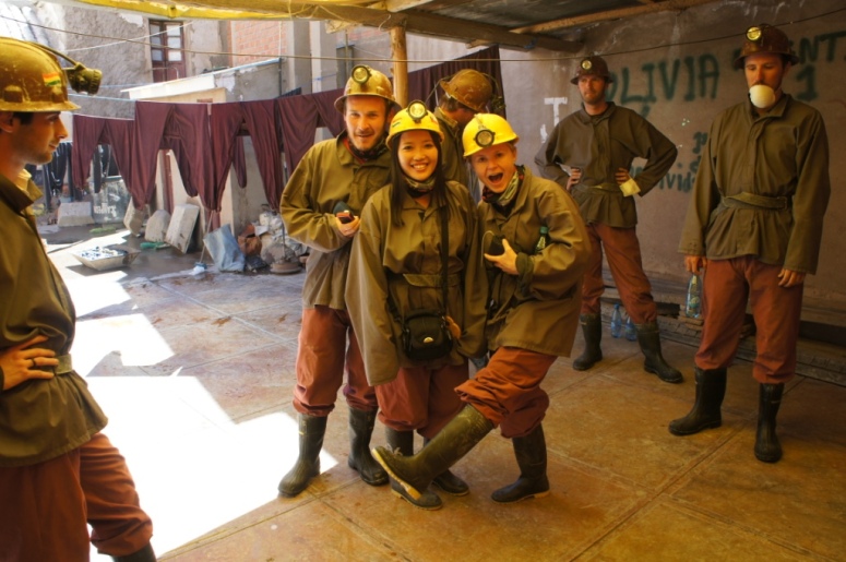
We bought the miners gifts of dynamite, coca leaves and drinks.
First we visited an ore processing plant which is one of 32 plants in Potosi.
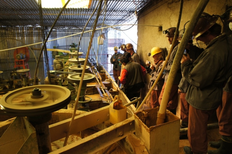
We were told by our guide that the miners earn 200 to 300 bolivianos per tonne of silver and the companies they sell the silver to earn $25 to $37 per kilo of silver.
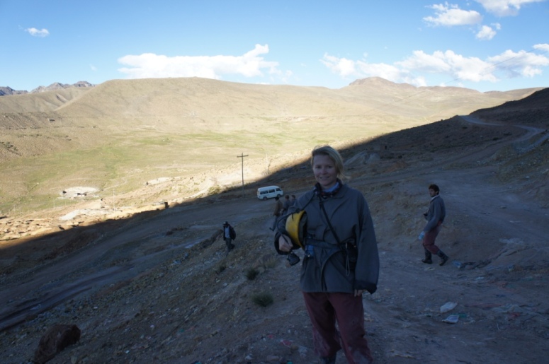
We were then driven to the mines of Cerro Rico which is about 4700m high.
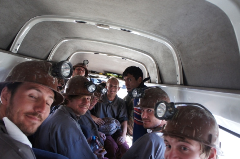
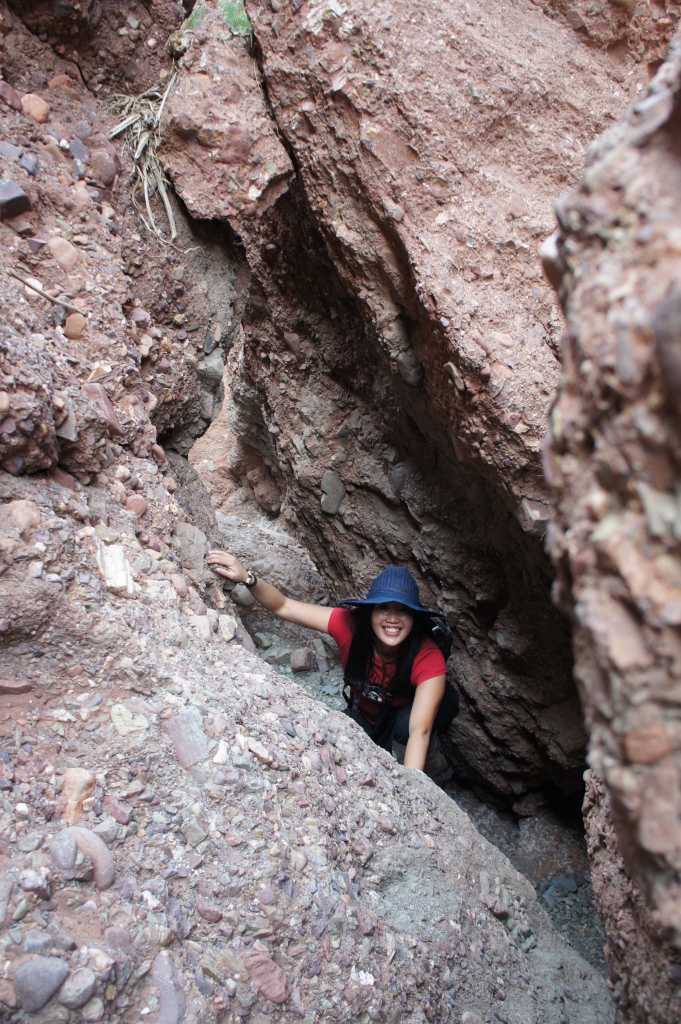
The tour is not for the faint hearted or anyone who is claustrophobic.
We descended into the mines via a network of tunnels.
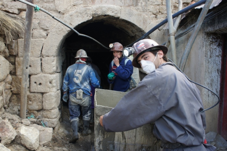
It’s very dark and hot down there with temperatures reaching 40 degrees celsius at some levels.
In many instances we had to crouch down while walking and there were some tunnels where I had to crawl on my hands and knees.

We walked approximately 3km in and descended down to the third level, which is about 20 to 30m down.
There’s no health and safety officer on site and many of the ladders we used were perched precariously or had loose rungs.
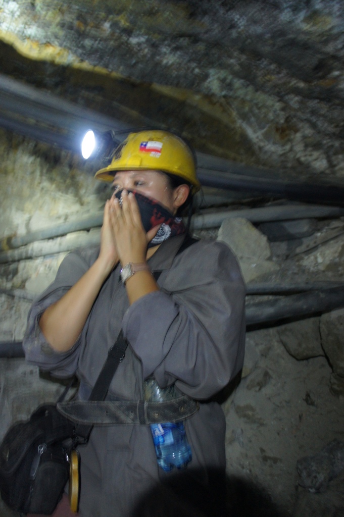
We hadn’t been in the mines long before my lungs began to hurt.

Oxygen is already reduced at high altitude and in the mines, this is further reduced by 15% to 20%.

That combined with the dust and noxious gases made it an unpleasant environment to be in.
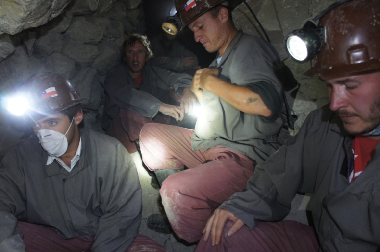
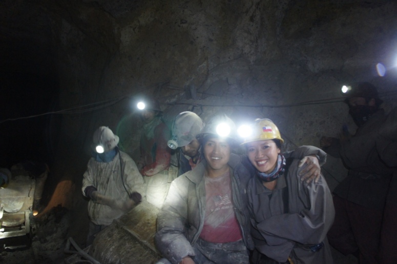
We were able to experience first hand how poor and cramped the miners working conditions were.

Most of the miners start working when they accompany their fathers to work.
The average lifespan of the miners of Potosi are 10 to 20 years after they start working in the mines.
The miners are aware of this but they have no choice as they need to support their families.
By the time our two hours was up, we were all longing for fresh air.
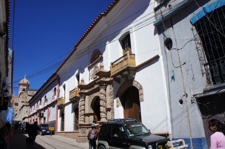
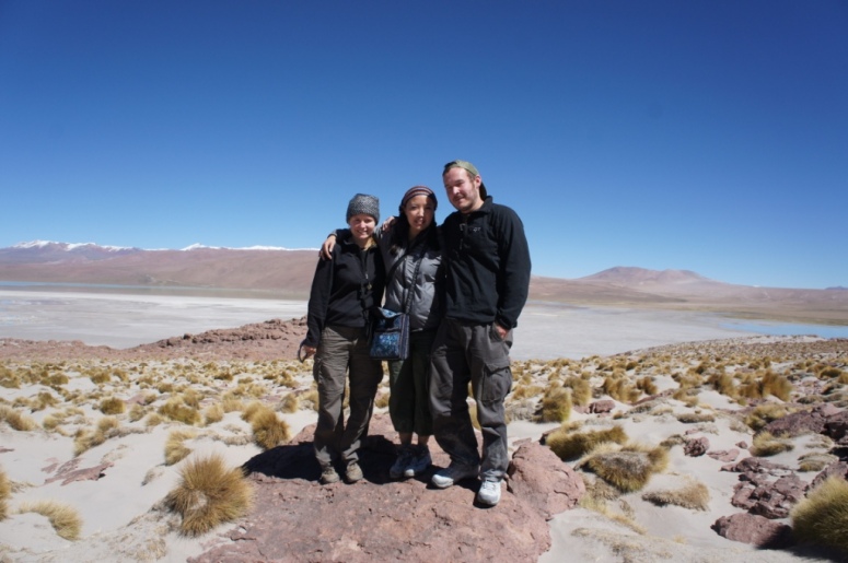
From Potosi, we made our way to the town of Uyuni, which is the main starting point for tours to the Salar de Uyuni (Salt Flats).
As soon as we arrived in town, we booked a 3 day tour with Andean Salt Expeditions. The vehicles they use are Toyota Landcruisers and the maximum number of people to each car is 6.
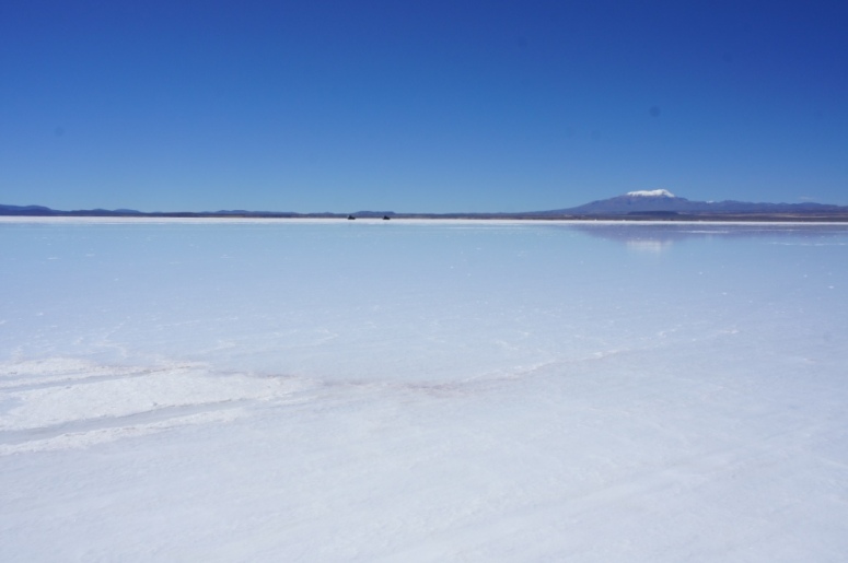
Our first stop was the Salar de Uyuni, which are the largest salt flats in the world.
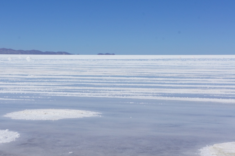
It rained a couple of days prior so the flats were covered in a shallow expanse of water.
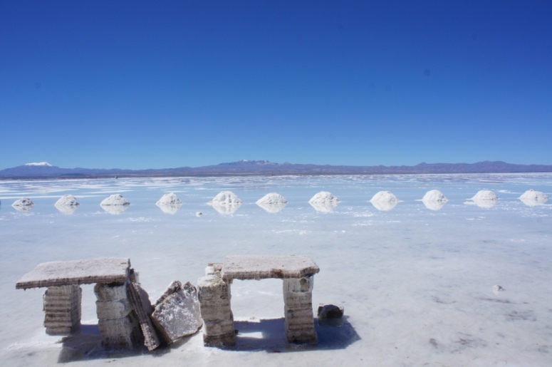
While we weren’t able to see the salt flats as they are usually depicted in photos (vast and endless blinding white plains with large cracks), it was still very beautiful with the flats submerged in water.
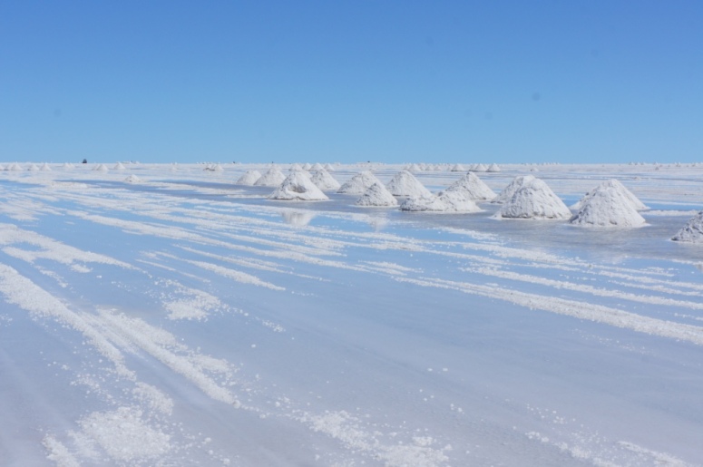
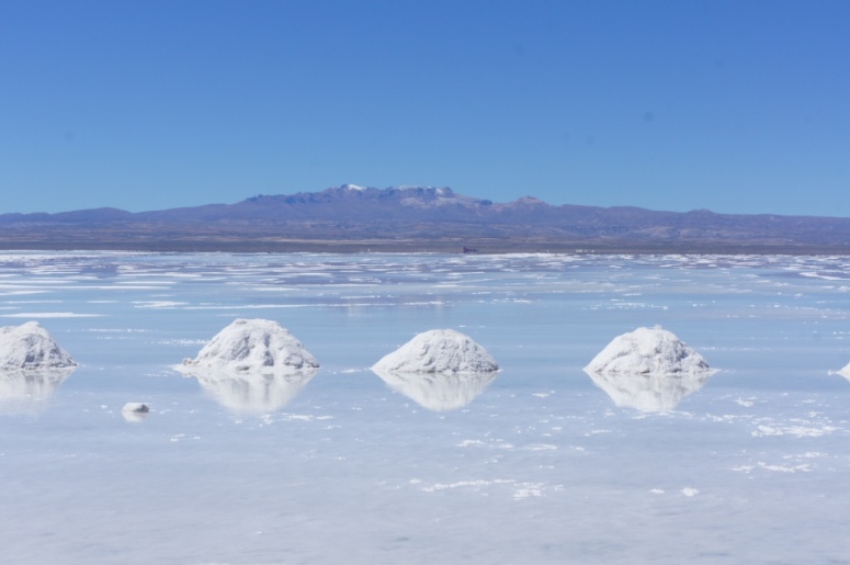
Many families who live in Uyuni make their livelihood by collecting salt and processing it for resale as idodised salt.
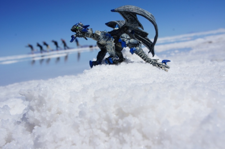
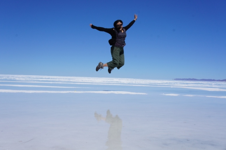
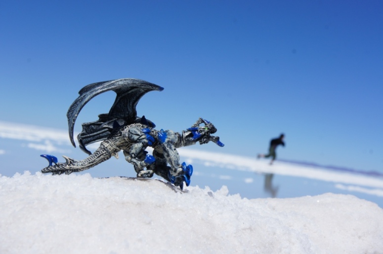
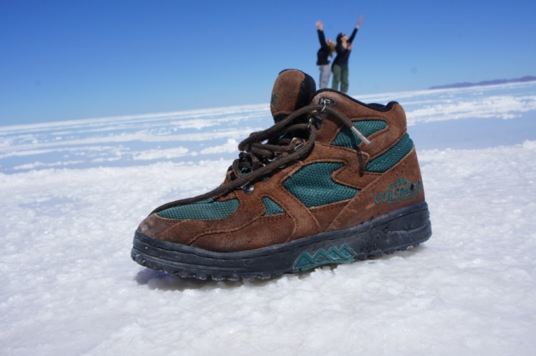
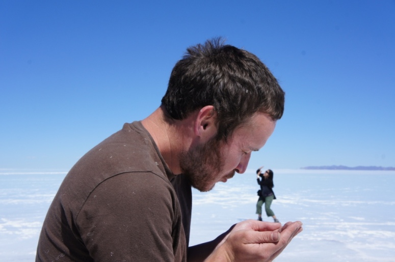
We had fun posing for funny photos, despite the salt and water being unpleasant to walk on.
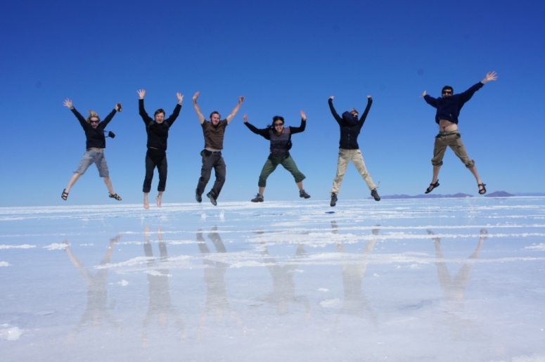
The other people in our group were extremely patient with us considering we took ages to get all the photos we wanted.
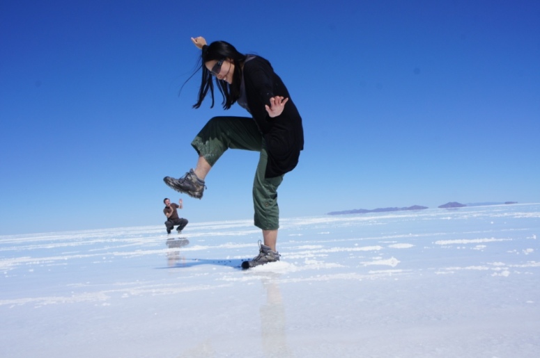
Our tour guide had to take the photos for us as we struggled to get the perspective right.
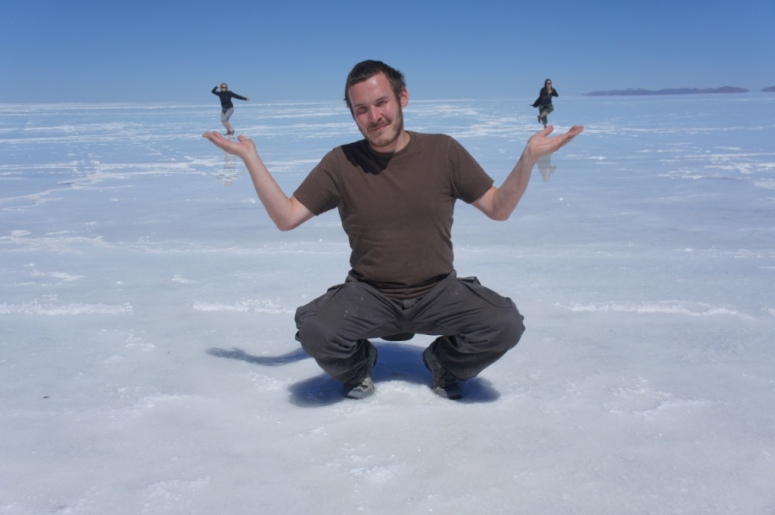
We had done some prior research into funny photos that other people had taken.
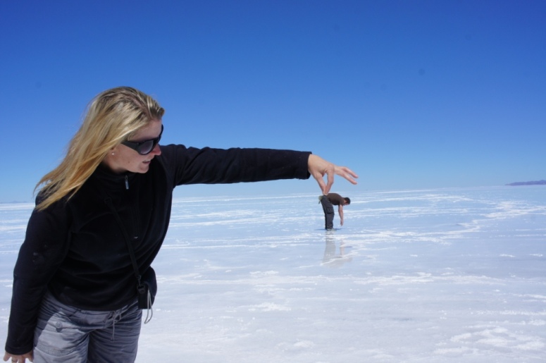
Our tour guide obviously had alot of experience in taking funny photos as she instructed us on where to stand and how to pose.
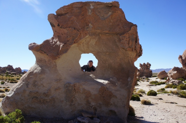
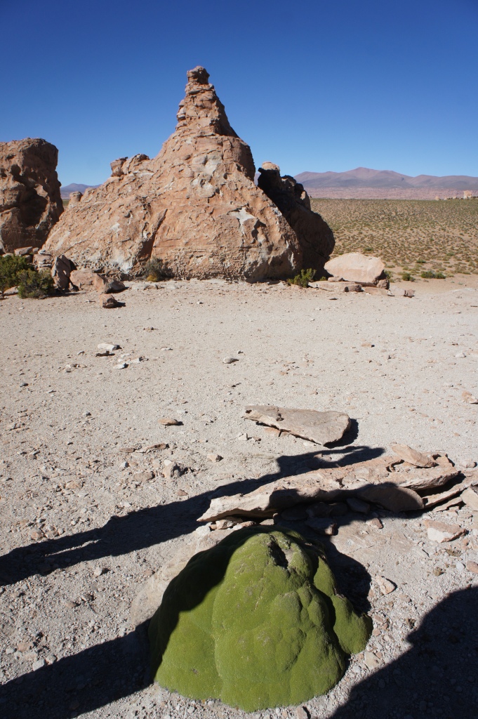
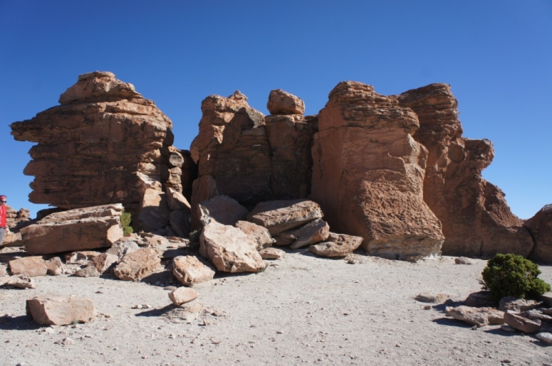
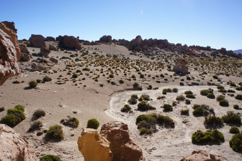
The next stop was the rocks valley which is basically one big playground for adults.
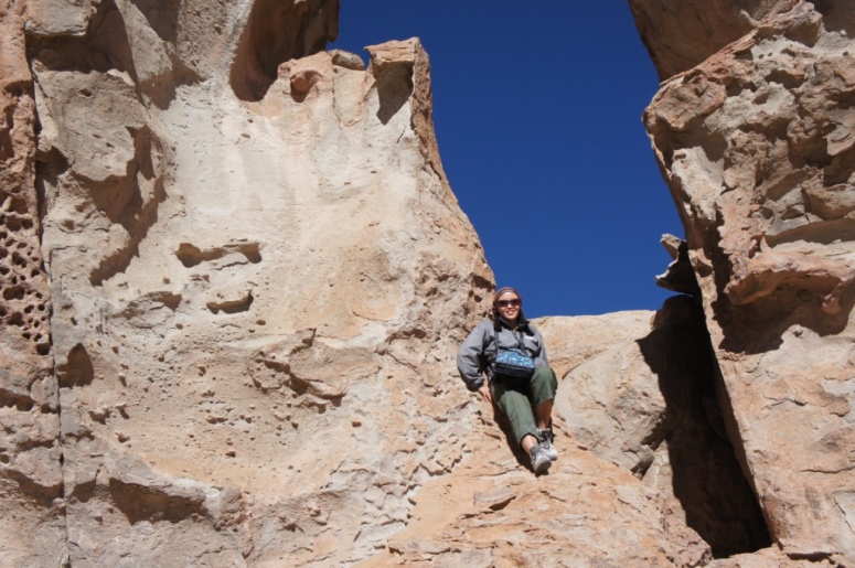
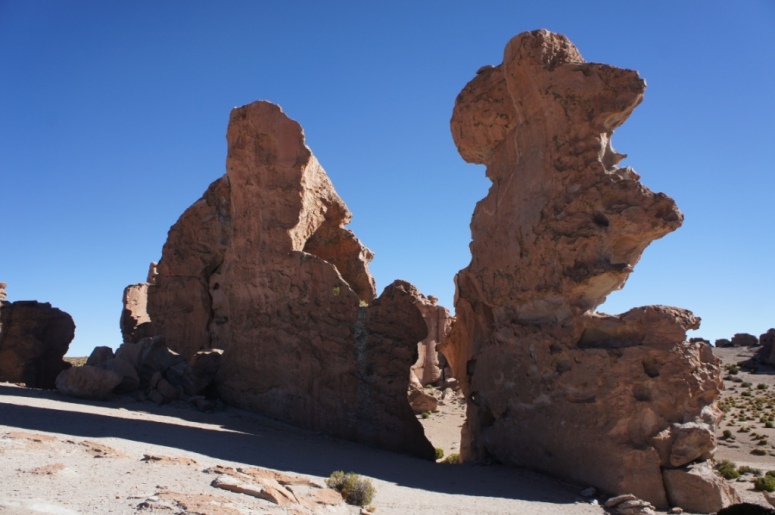
The rocks valley has weird and entirely natural rock formation and very little vegetation.
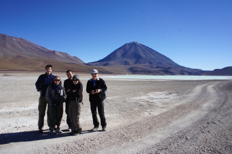
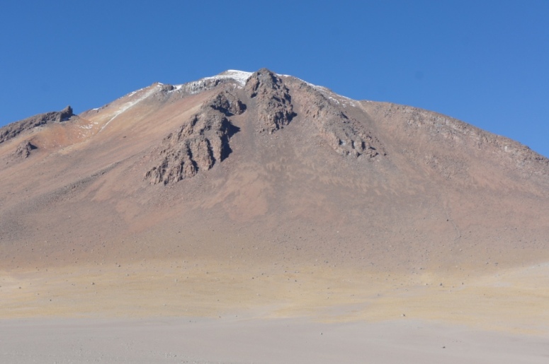
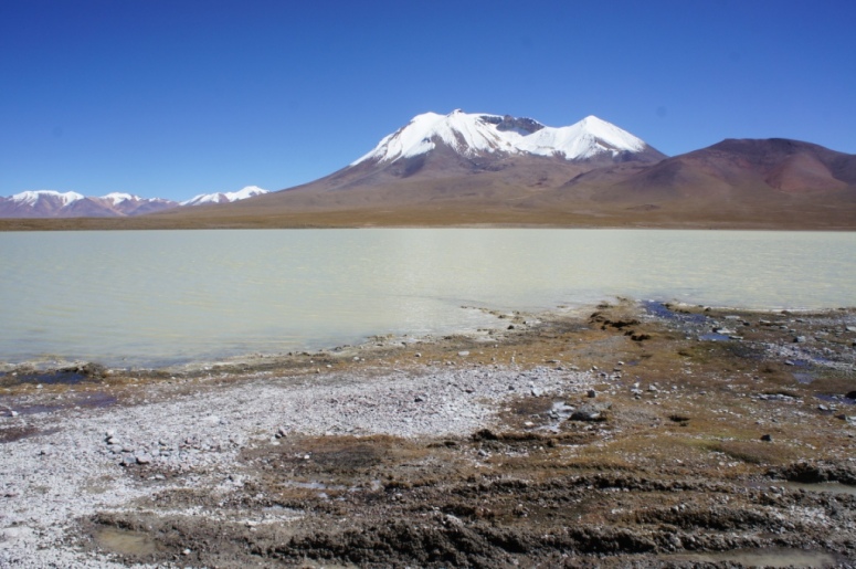
The drive through the desert scenery is simply breathtaking.
The landscape changed rapidly from flat desert, lakes and volcanoes.
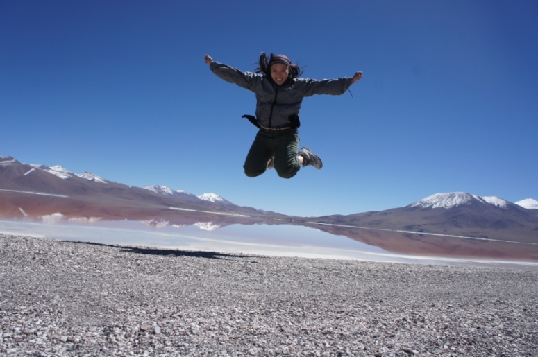
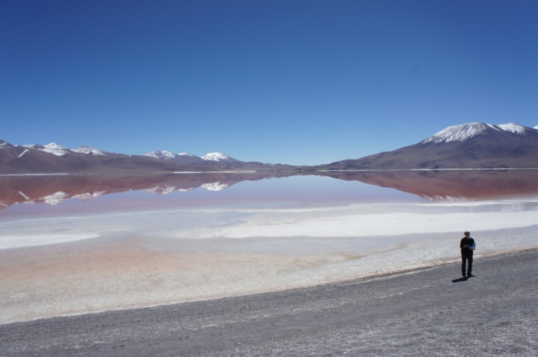
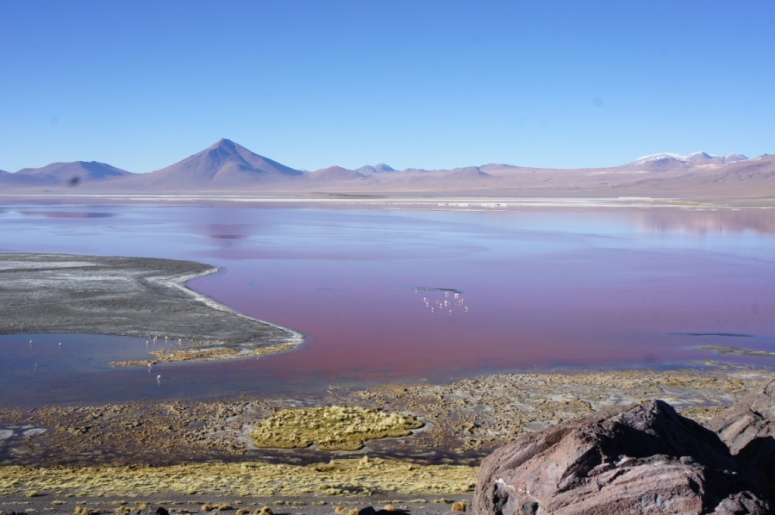
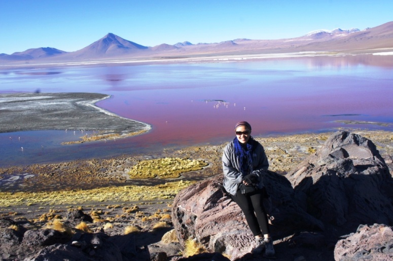
My favourite section was the red lagoon.
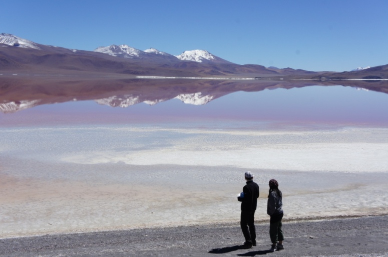
The lagoon is red due to the red sediments and some pigmentation of algae.
As I stood there looking out at the lake, I couldn’t remember seeing any other natural landscape being as beautiful.
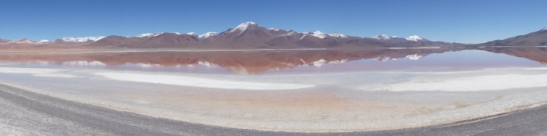
My pictures don’t do it justice.
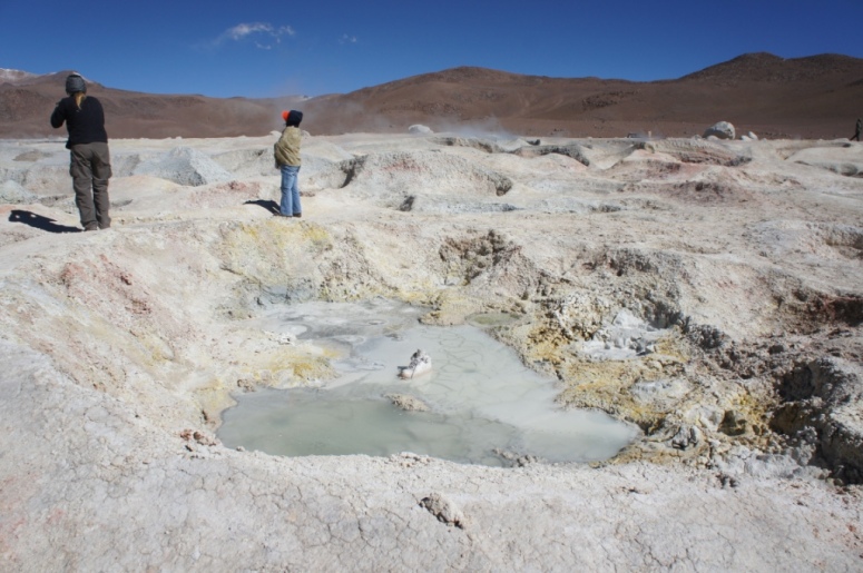
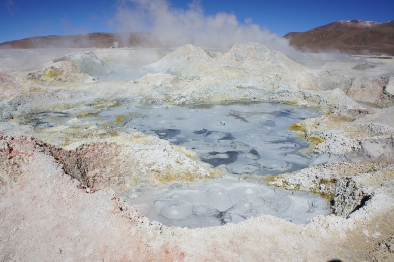
We also visited the geysers, some of which had formed that very month.
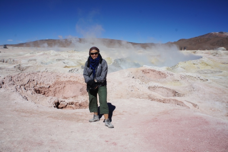
The geysers were very active and were gurgling and splitting as we walked through them.
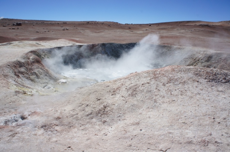
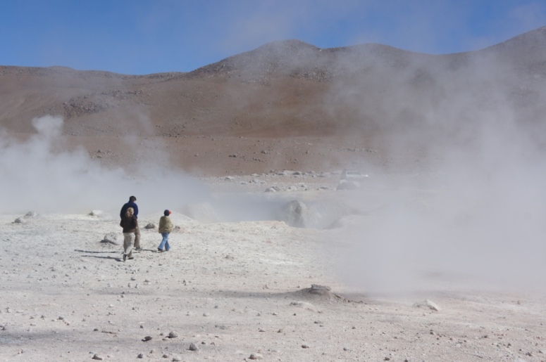
I was worried a new geyser would open up as I was walking.
We also visited the green lagoon which has no wildlife around it as its water contains arsenic. I was expecting an emerald green colour but it was more bright aqua.
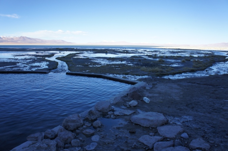
Our last stop on the second day was a visit to the hot springs. At an average temperature of 32 to 35, it wasn´t really what we considered ´hot´.
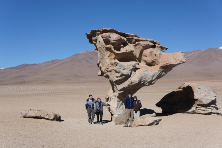
On the third day, en route back to Uyuni, we stopped to view the red lagoon from a different angle before making our way to the Stone Tree in the Siloli desert.
We also passed the white lagoon on the way out of the national park.
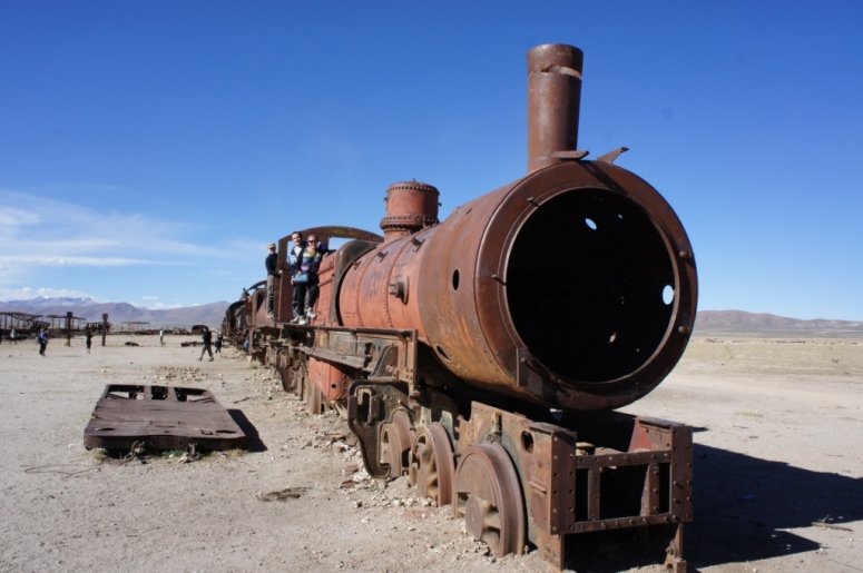
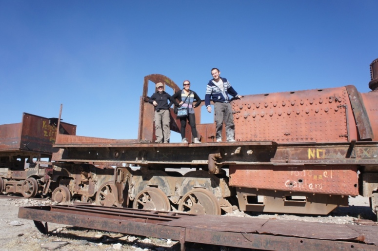
At this point, two members of our tour group had fallen ill so we made a beeline for Uyuni, stopping briefly at the train cemetery.
In Uyuni, we parted ways with Will temporarily, as Shelly and I boarded a train to Tupiza. Will decided to head back to La Paz to try and hop on a jungle or pampas tour.
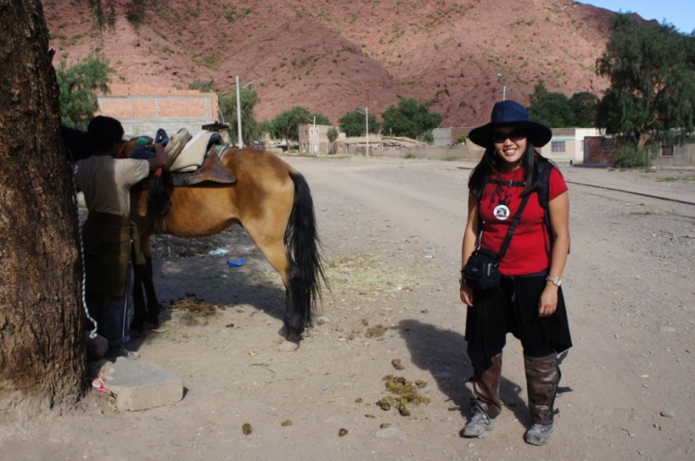
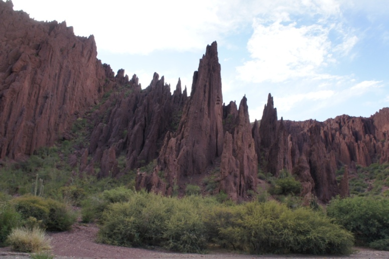
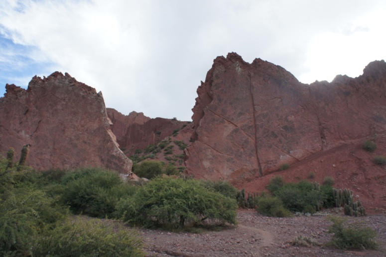
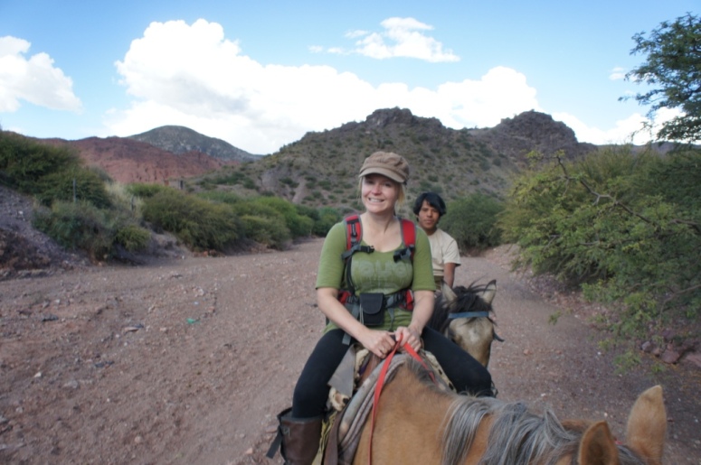
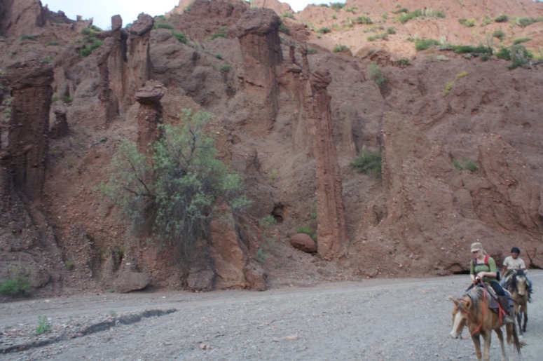
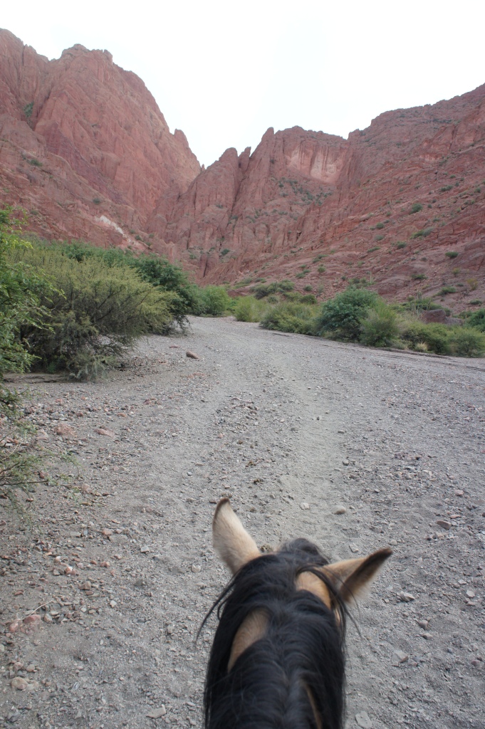
Tupiza is a sleepy town surrounded by colourful and dramatic red terrain.
It is supposedly where Butch Cassidy and the Sundance Kid met their fate at the hands of the Bolivian Army, after their numerous bank robberies.
There are many types of jeep, cycling or horse riding tours in the area.
Shelly and I decided to go for a 3 hour horseback tour of the area.
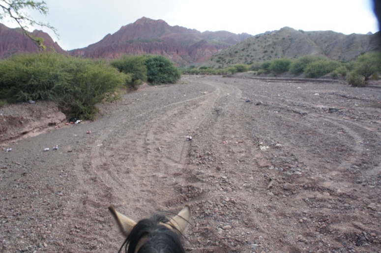
It started off fairly tame, with our horses well trained to follow the trail.
We trotted quite a fair bit, a tad unpleasant as we were wearing our backpacks on our back.
For a tantalising 10 metres, we were cantering before my horse decided I was too heavy.
I had the most stubborn horse and Shelly joked (at least I think she was joking) that they must match the horse’s personality to its rider.
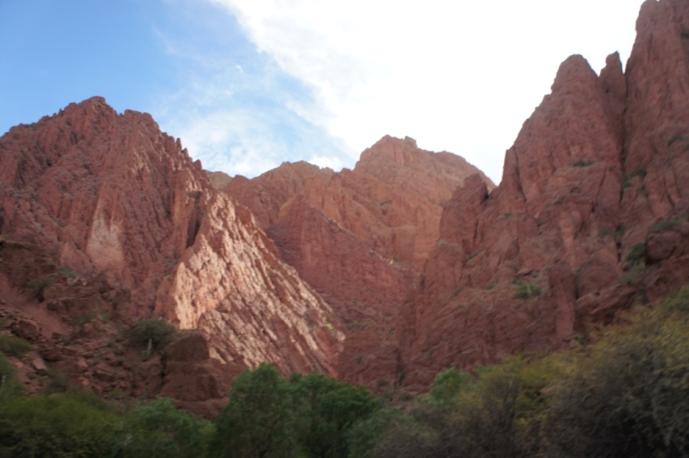
Once we reached the Inca canyon, we got off our horses and tried to follow the trail as far as we could.
Unfortunately our height got in the way!
Thus this ends our Bolivian adventure. Helloooo Argentinaa!!
